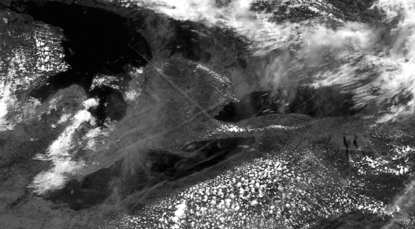
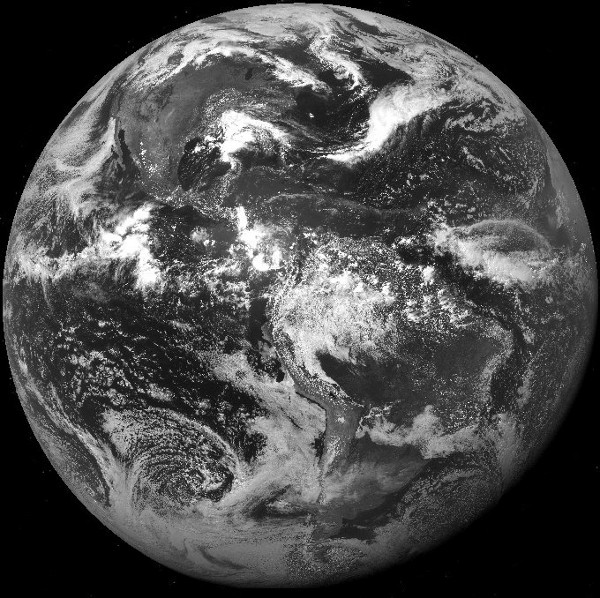
I only wanted a better way to predict sailing conditions. For that I had to find the most real-time satilite images of Earth at the highest resolution I could find and without fake "enhancements" (maps, labels, fake colour and the like) that obsficate the real view. I found this primary data online at The National Oceanic and Atmospheric Administration (NOAA) . NOAA's geostationary satillites keep a pair of eyes 35,876 km above the Americas and send us a new set of images every few minutes. NOAA is a US federal agency focused on the condition of the oceans and the atmosphere. NOAA's organisation and presentation of this potentially spectacular electromagnetic data left much to be desired; so I did much better:
spacecam.harmsen.net (spacecam is temporarily down due to changes in NASA's website)
SpaceCam has simple webcam type naviation so you can tab around with the arrow keys, zoom, select preset locations or type in coordinates. I wrote digital imaging code to intellegently pull out the tonal range of each visual light image so that they can be viewed clearly. You can toggle between normal images and IR temperature images (night vision).
Enjoy snoping around the western hemisphere with SpaceCam!
The zoom is limited to an area about the size of Ontario, about 1pixel per square mile. This may be for national security or as likely just because these are an earlier generation of geostationary satilites. The images are nonetheless wonderful.